
Geodata reveals rampant deforestation in Papua
Indonesia: The Nusantara Atlas uses current geodata and satellite imagery to document the scale of the Merauke sugar and bioethanol project. Its interactive maps show where forests are being cleared, which concessions have been granted, and which companies are behind them.
Since mid-2024, more than 40,000 hectares of rainforest, wetlands and dry forests in southern Papua have been destroyed for the PSN Merauke sugar and bioethanol project. The latest data from The TreeMap in the Nusantara Atlas confirm this, strengthening the resistance to the 2.5 million hectare deforestation scheme. They also bring hard facts into the controversy surrounding the film Pig Feast (Pesta Babi).
Pig Feast looks at the massive destruction of forests – ruthlessly pushed through by military and state power – through the eyes of the affected Papuan communities. At least 12 million people have already watched the film and are shocked by the scale and brutality of the project. Many Indonesians are standing with the Papuans and taking to the streets.
The TreeMap publication is based on satellite images and geodata collected since the first clearings for rice plantations, sugarcane concessions and roads began in mid-2024. It now provides current information on the situation on the ground, names those responsible for the economic policy behind it, and shows the ecological and social impacts of the project.
In summary: in just under two years, forests and other ecosystems have been destroyed for PSN Merauke:
• 30,440 hectares for sugarcane plantations and bioethanol
• 10,525 hectares for rice plantations
• 60 km of a planned 135-kilometer road through the plantations have been built
• In addition, there are numerous clearings and clear-cut areas inside still-forested concessions and along the new road.
Explore the 2026 data in the Nusantara Atlas
» Click on “Concessions” at the top left
» Under “Analyze land cover change” scroll down to “PSN South Papua”
For a comparison, see the 2025 data analysis “Land Clearing in Papua: 2024–2025 Trends and Drivers” by David Gaveau
Sign our petition
The National Strategic Project Merauke, abbreviated PSN Merauke, is a “Food Estate” for the production of sugarcane, rice and palm oil.
This page is available in the following languages:

Indonesia: Stop the destruction of Papua’s Marind forest!
Indonesia is implementing a sugar and ethanol program in southern Papua under military protection. Two million hectares of rainforest and Indigenous land are at risk.
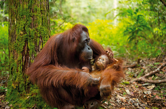
Defending rainforests in Southeast Asia
The forests of Southeast Asia are the last refuge and habitat of orangutans, Sumatran tigers, birds of paradise and Komodo dragons.
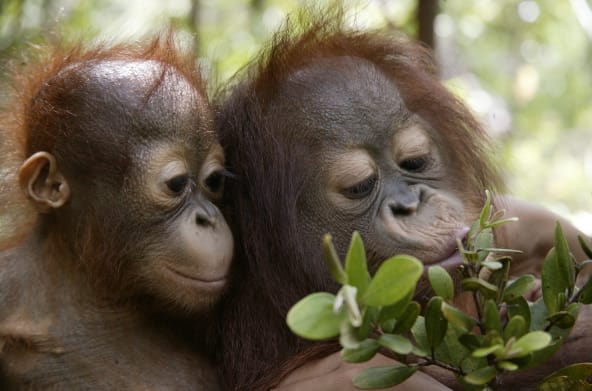
The rainforest
A green sea of ferns, mosses, vines and ancient trees. Iridescent butterflies and colorful birds. Flowers in every hue of the rainbow. The “green lung” is a natural wonder of the world. Find out more about the world’s most diverse, fascinating and threatened ecosystem.